Earth's Living Drone Imagery Layer for Physical AI

Continuously updated, integration-ready drone imagery and geospatial intelligence powering leading mapping pipelines, precise world models,
and physical AI systems.

In collaboration with

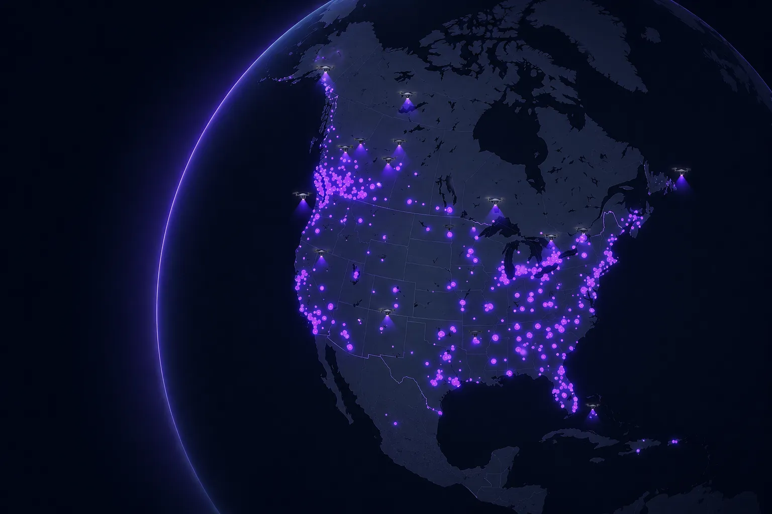
Map of North America with glowing purple dots and drones highlighting urban areas at night.
Over 6M Acres Imaged

Earth is constantly changing. Capture it in ultra-high resolution through the world’s largest drone imagery network — powering maps, applications, and physical AI systems grounded in reality.

Data for geospatial and AI systems that need to understand the physical world

Next-gen data products

Standardized and ultra-high resolution

  • Gaussian splats

  • 3D point clouds + orthomosaics

  • Structured oblique + nadir imagery

Create living world models

Continuously update city-scale models with time-series data captures.

  • Spatial AI model training

  • Robotic simulations

  • Inrastructure inspections

Enable portfolio intelligence

Maintain Al-driven visibility into asset conditions across portfolios.

  • Development state tracking

  • Asset condition modeling

  • Investor reporting automation

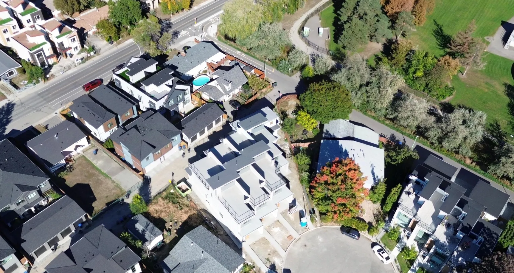
Aerial view of a residential neighborhood with houses, some under construction, and autumn trees.Aerial view of a suburban neighborhood showing houses, roads, trees, and a cul-de-sac.

Detect real-world change

Enable real-world change detection to your sites and assets with regularly updated imagery

  • Progress verification

  • Site change detection

  • Risk prediction

From request to real-world data in days, not months

Spexi runs a distributed network of drone pilots ready to capture your city on demand.
Three steps from request to ready-to-use data.

Request coverage where it matters

Define the locations, assets, or regions where you need imagery — wherever your models need better visibility or your city needs updated ground truth.

Spexi coordinates capture or access

Our distributed pilot network called LayerDrone captures high-resolution, standardized drone imagery where and when you need it—without the long refresh cycles of traditional imagery programs. Or access our growing archive of 6.5M+ acres of drone imagery.

Spexi coordinates access on demand

Our distributed drone imagery network called LayerDrone captures high-resolution, standardized data where and when you need it—without the long refresh cycles of traditional imagery programs. Or access our growing archive of 6.5M+ acres of drone imagery.

AI-ready data, delivered to your workflow

Captured imagery is standardized into structured datasets and delivered via API,  ready for training, validation, change detection, and digital twin systems.
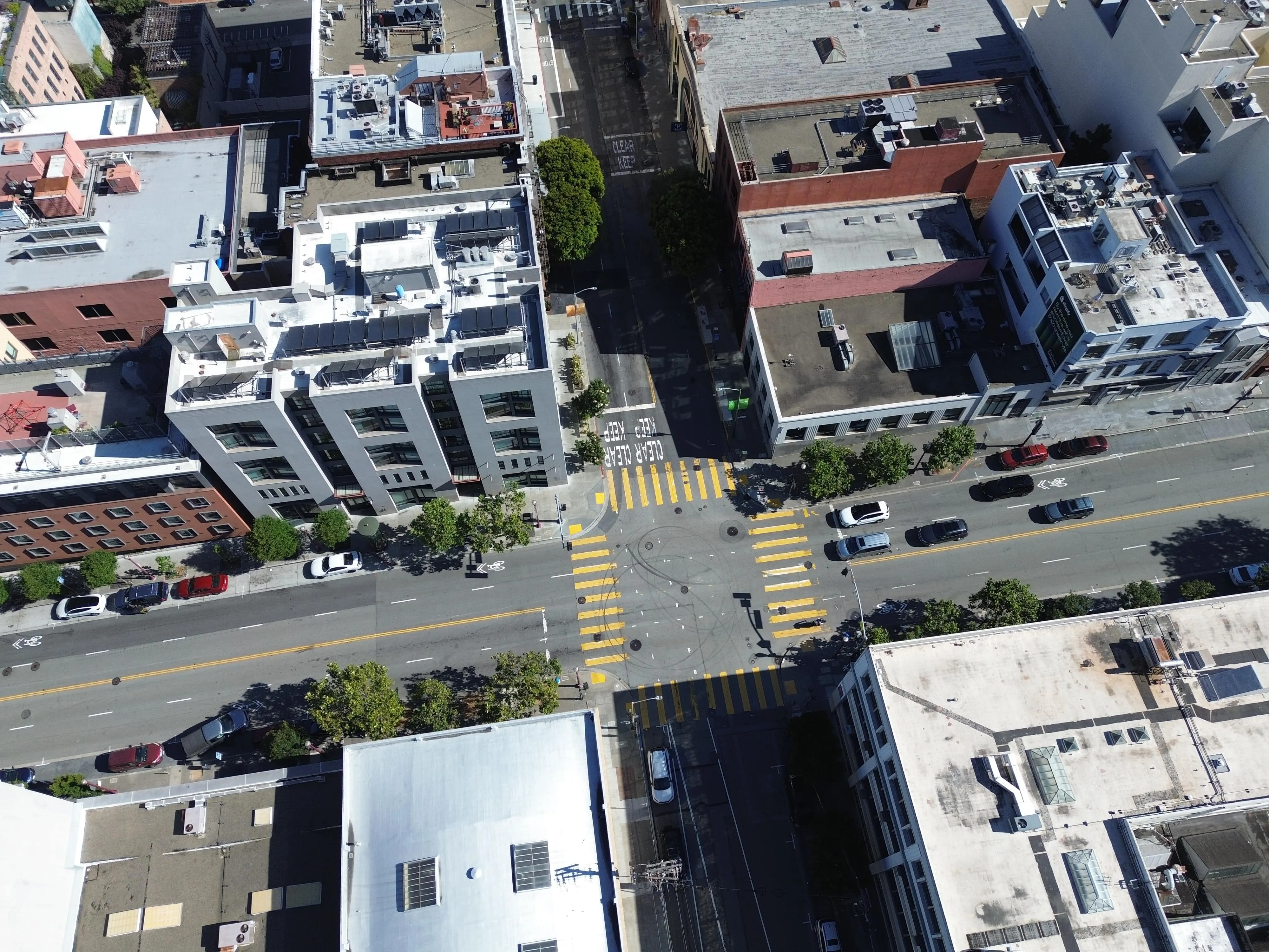
Data products for perception,
mapping, and simulation

Aerial view of an urban street intersection with yellow crosswalk lines and several parked cars beside multi-story buildings.

Static image datasets

Orthomosaic datasets

Living digtial twins

Why AI and geospatial teams choose Spexi

Purpose-built for the teams training, validating, and deploying AI in the real world

Pinpoint coverage

Capture targeted training data exactly where your models need improvement

1-3cm pixels
Ultra-high resolution
Aerial view of a residential neighborhood with rows of houses, roads, parked cars, two small ponds, and adjacent undeveloped land.

Fully standardized datasets

Spexi imagery is the same, everywhere on Earth. Eliminate data preprocessing bottlenecks for machine learning pipelines.

Rapid turnaround
Fast iteration

Fully standardized datasets

Spexi imagery is the same, everywhere on Earth. Consistent global datasets for scalable spatial AI and machine learning pipelines.
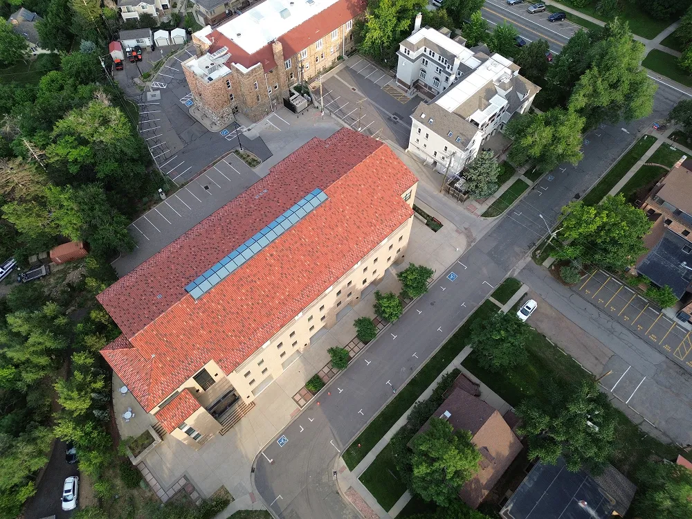
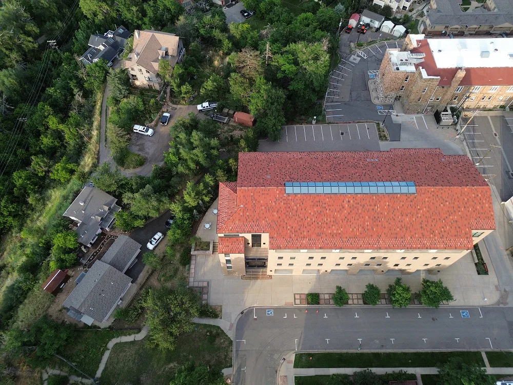
Rapid turnaround
Fast iteration
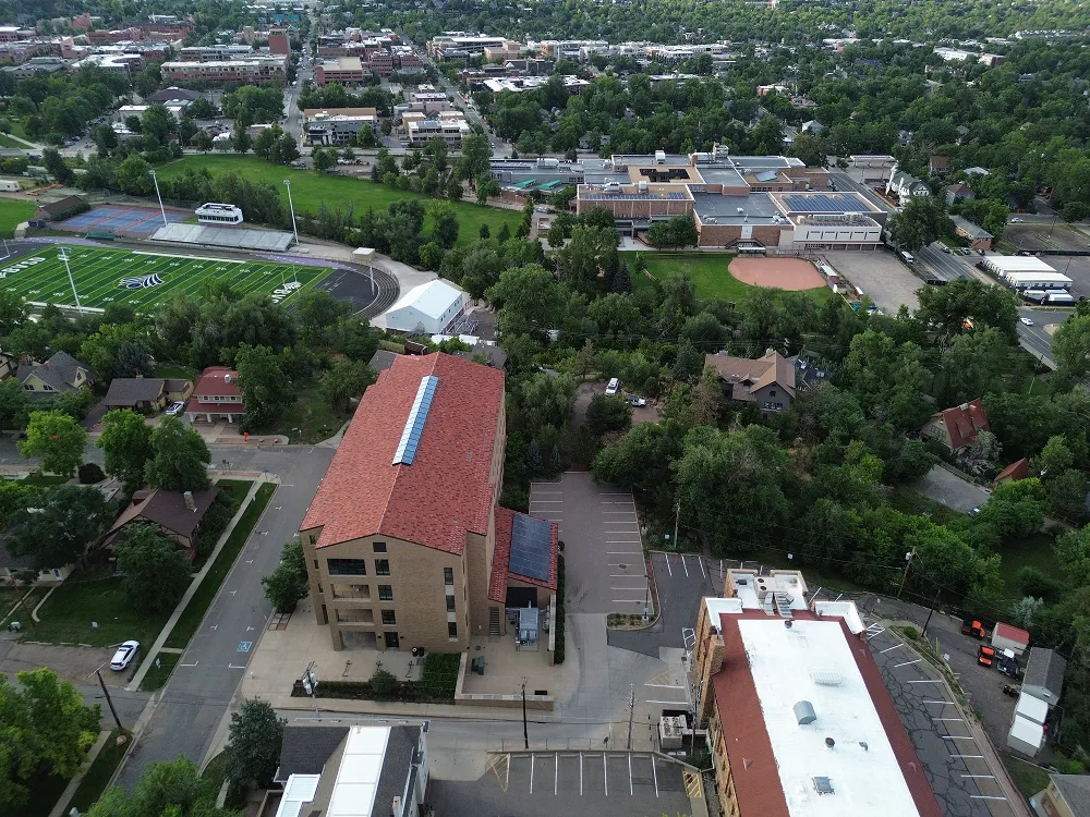
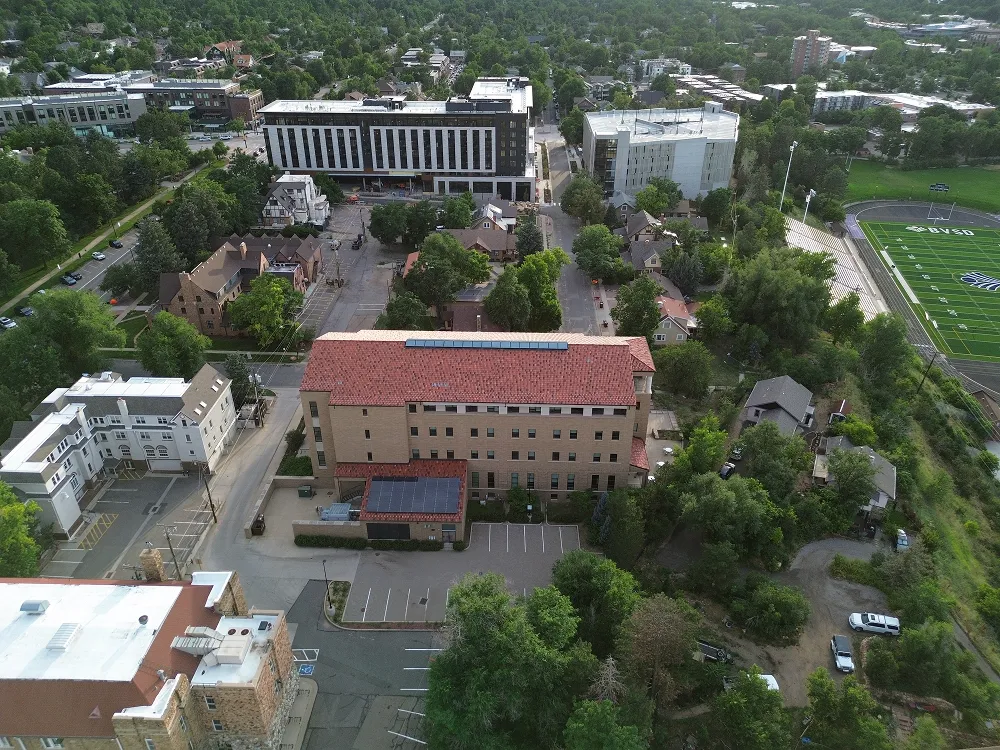
Aerial view of a red-roofed building surrounded by trees, parking lots, and roads.Aerial view of a red-roofed building surrounded by parking lots, streets, and greenery.Aerial view of a large building with a red roof surrounded by trees and parking lots.Aerial view of a school campus with sports field, baseball diamond, and surrounding residential area.Aerial view of mixed residential and institutional buildings near a sports field surrounded by trees.

API-first integration

Integrate directly into ML pipelines and data infrastructure.

Data infrastructure
ML pipelines

Fuel spatial pipelines with Spexi imagery

High-resolution drone data that fuels the core computer vision tasks your AI models rely on.

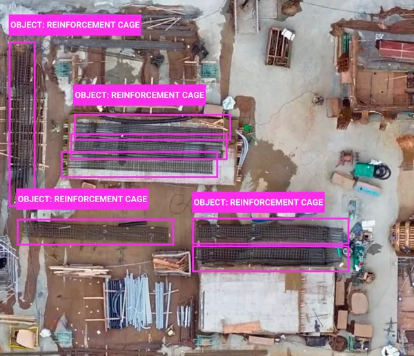
Aerial view of a construction site with steel rebar, wooden planks, pipes, and concrete foundations in progress.Aerial view of a construction site with multiple reinforcement cages labeled in pink boxes.

Object detection

Use case: Street mapping, object classification
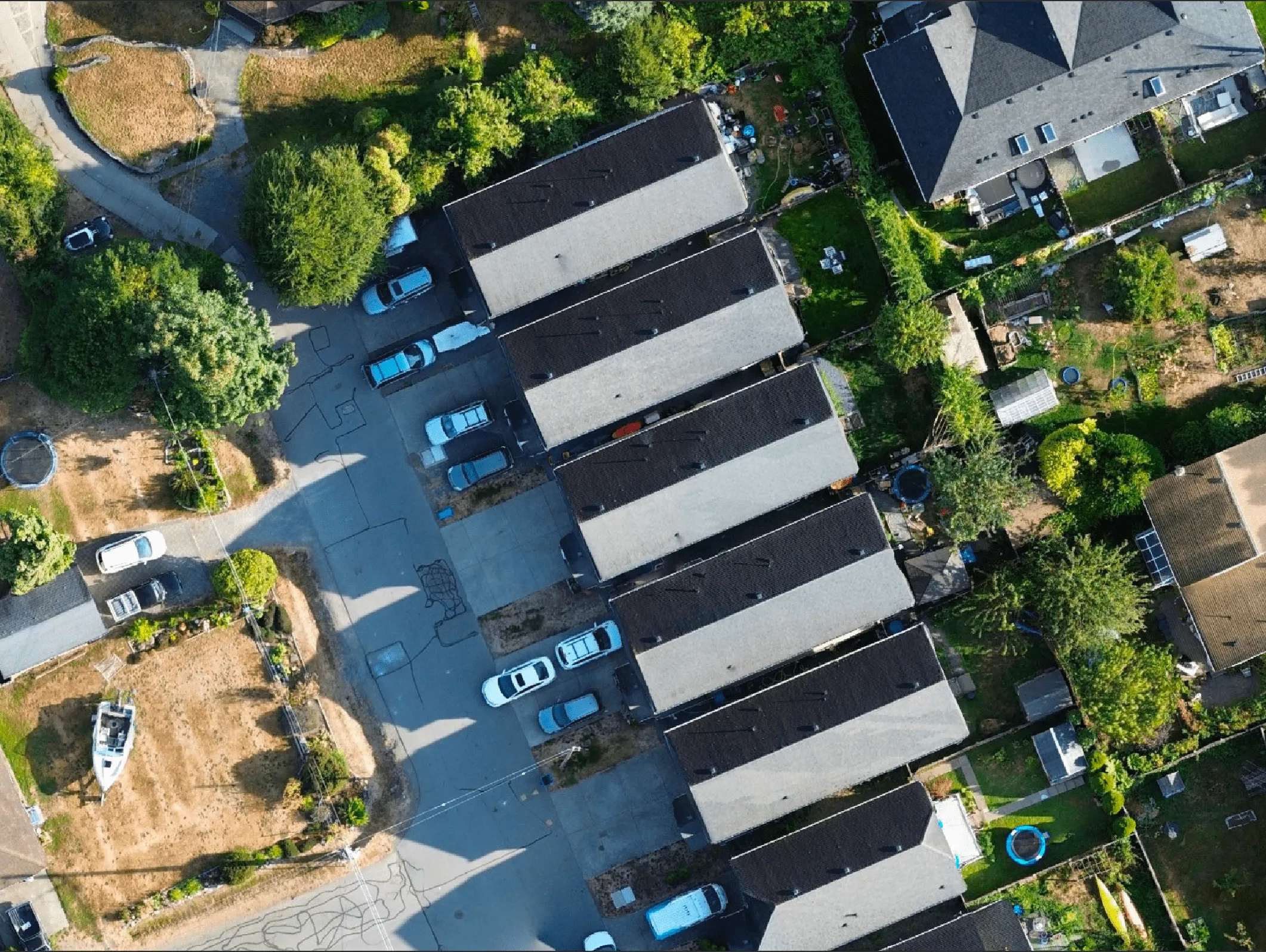
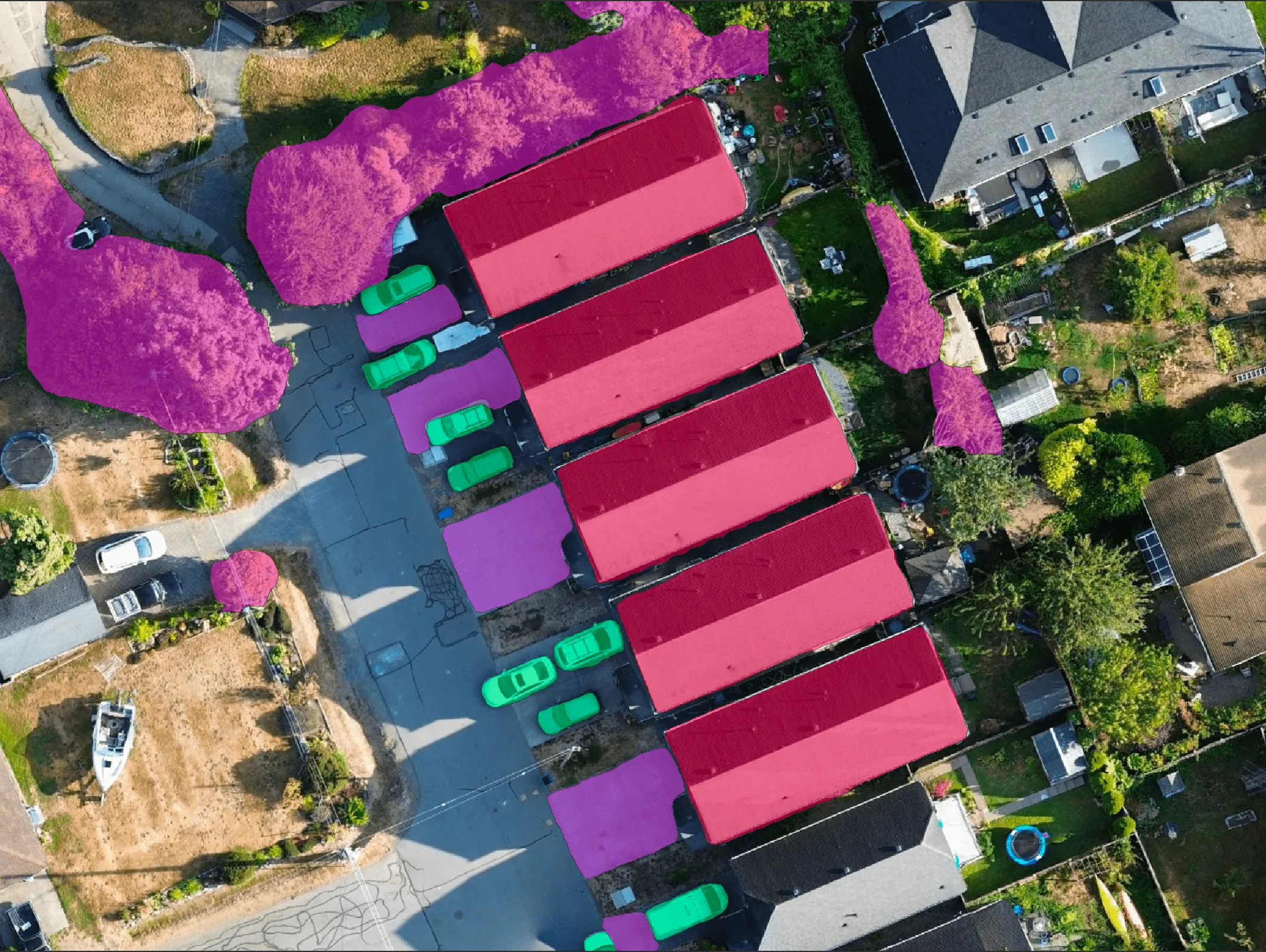
Aerial view of a residential area showing several long, narrow buildings with parked cars and surrounding green yards with trees and garden sheds.Aerial view of a residential area with five adjacent buildings having red roofs, green cars parked beside them, purple marked parking areas, and purple highlighted trees and bushes.

Segmentation

Use case: Roof damage detection, construction progress, land cover detection

Aerial view of a residential neighborhood with a house under construction surrounded by completed houses and autumn-colored trees.Aerial view of a residential neighborhood featuring houses, a circular cul-de-sac, trees, and green spaces.

Change detection

Use case: Post-disaster analysis, encroachment alerts
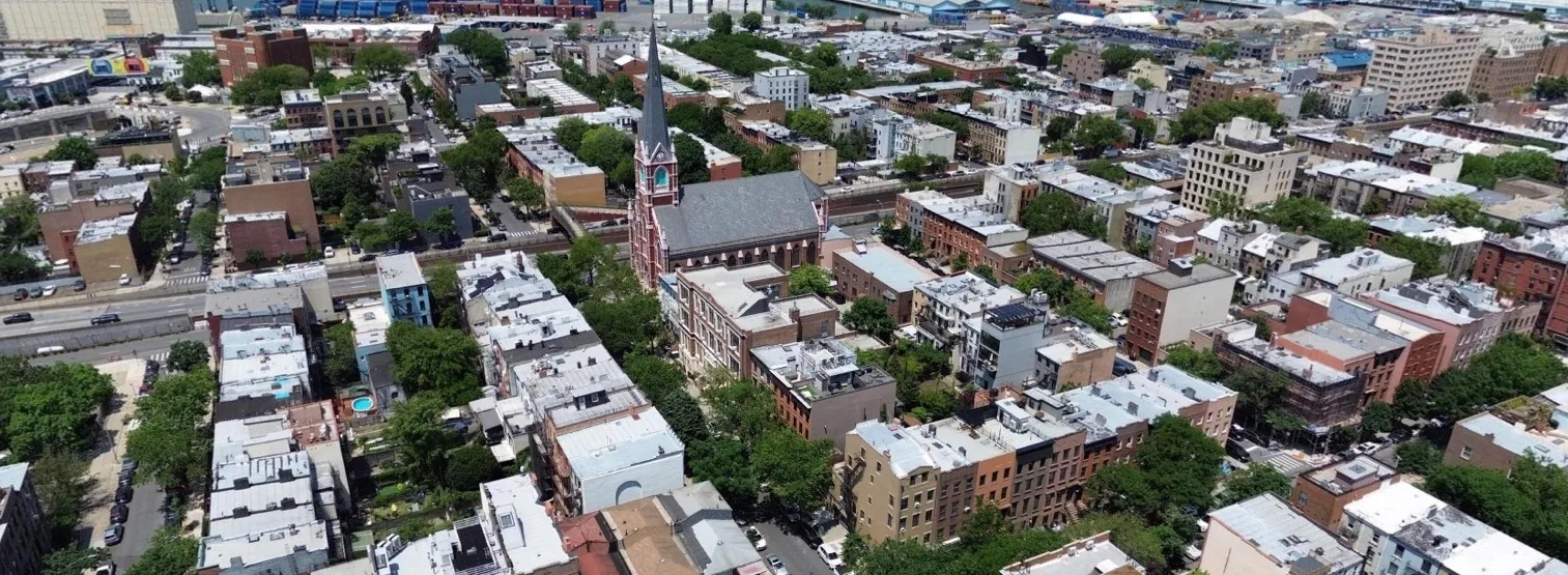
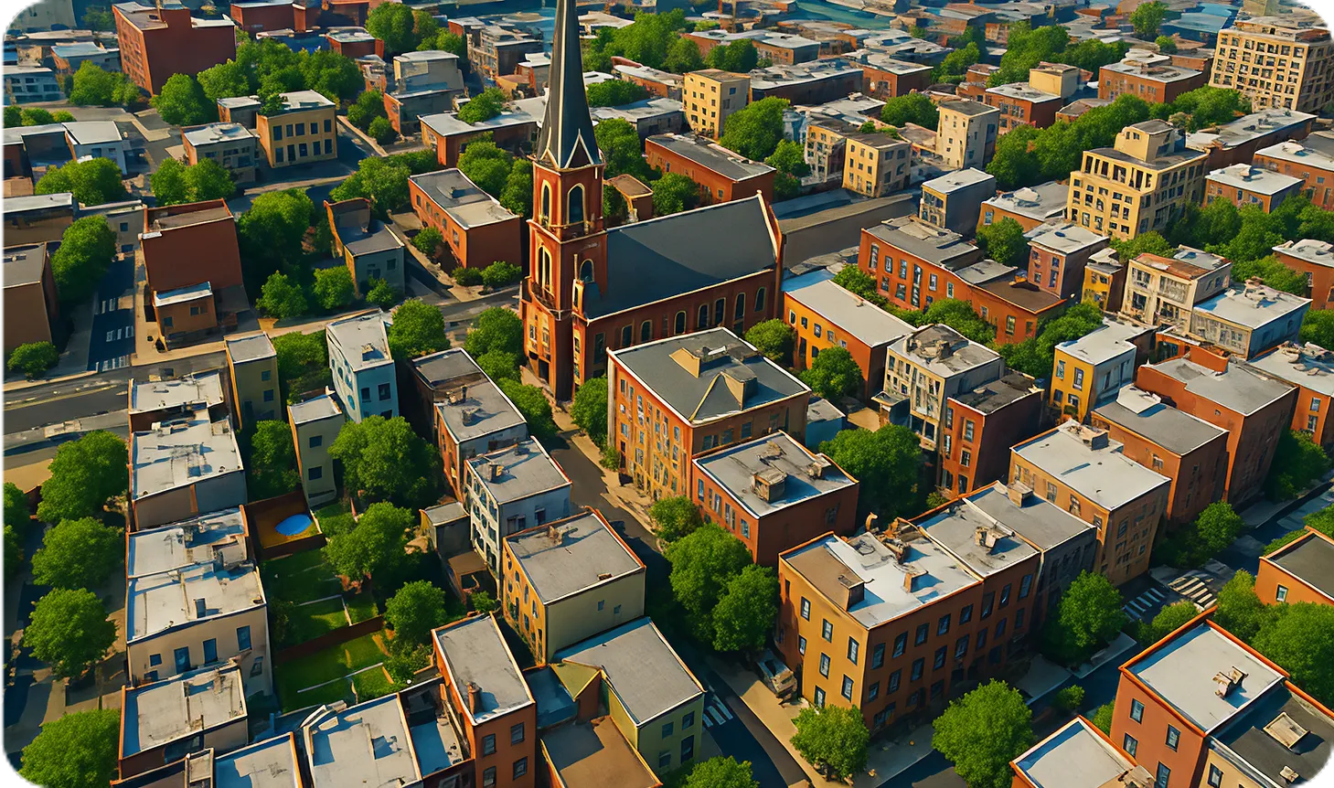
Aerial view of a city neighborhood with rows of residential buildings, trees, and a prominent church with a tall steeple in the center.Aerial view of a neighborhood with a central church surrounded by multi-story residential buildings and trees.

Digital twin creation

Use case: Infrastructure & urban modeling, autonomous navigation
Aerial view of a mostly empty parking lot near a large circular arena building.Aerial view of a modern residential complex with multiple mid-rise apartment buildings and a large arena in the background.

Synthetic data generation

Use case: AI model training (detection, mapping, risk assessment)

Give your spatial pipelines
the data they need

Continuously updated drone imagery and geospatial intelligence powering the next generation of real-world AI systems