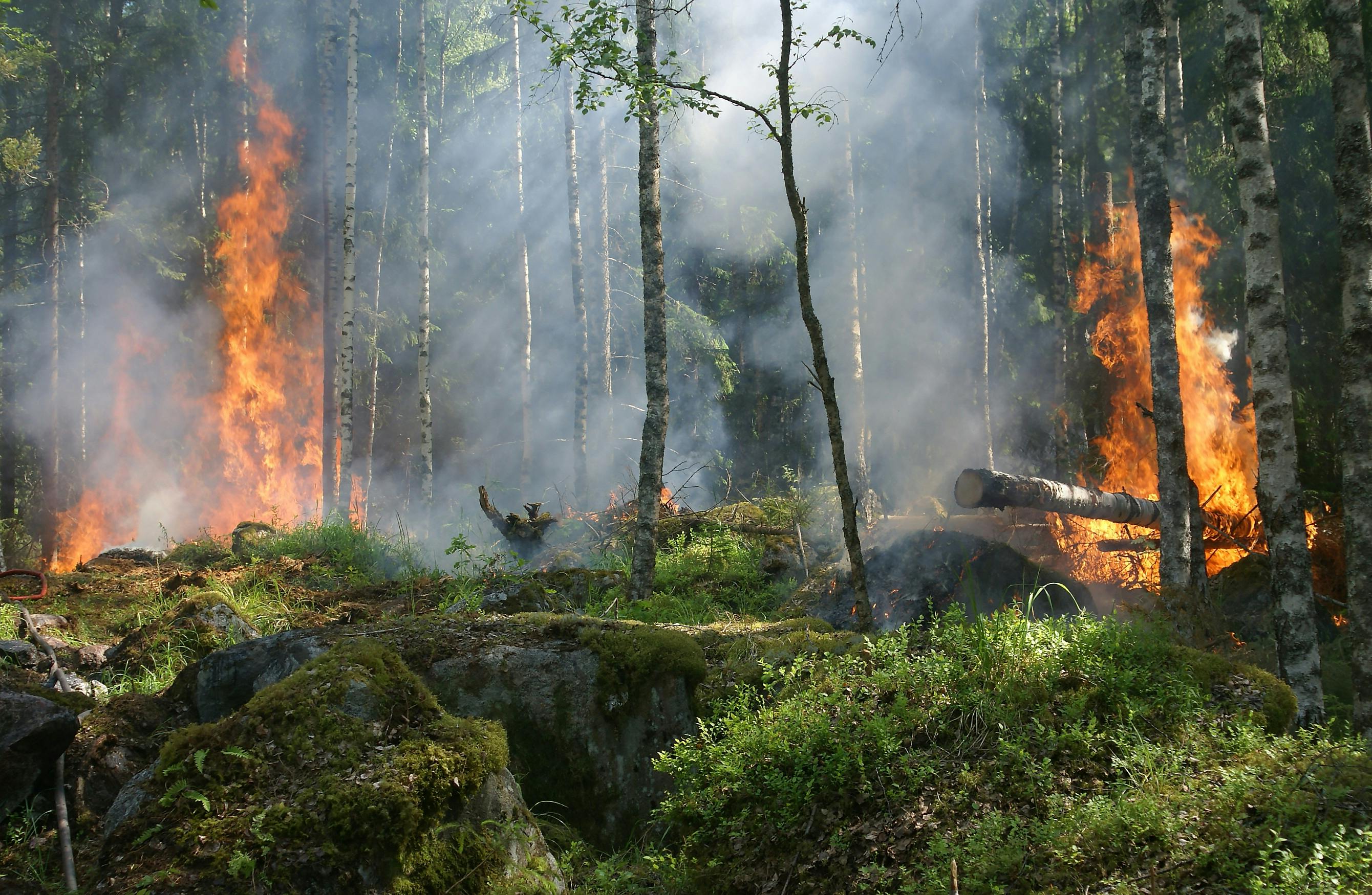
Wildfires move fast. Your response plan should too. Join city leaders to discover how on-demand drone imagery is helping governments respond faster, cut costs & protect more.

Webinar
Modernizing Wildfire Response with On-Demand Aerial Data
April 29, 2025
On Demand
12:30 pm PST
Remote
Thank you! Your submission has been received!
Why Watch The Webinar
Most wildfire plans still rely on expensive flyovers, outdated maps, and overworked teams. But there’s a faster, smarter way. This free webinar shows how local governments are using fresh, on-demand drone networks to respond in hours—not days.
Speakers
Our speakers are industry experts, thought leaders, and innovators who bring valuable insights and real-world experience to the stage.

What You’ll Learn
- What data matters most for pre-fire risk assessments, response coordination, and post-incident audits
- The limitations of traditional aerial imagery capture methods
- How leading cities leverage drone technologies for on-demand, high-resolution data collection
- How to make informed decisions for on-demand aerial imagery at a lower cost
Don’t miss this opportunity to revolutionize your aerial imagery strategy. Reserve your spot today!

Who Should Attend:
This session is built specifically for:
- Municipal & city emergency managers
- Fire chiefs & wildfire response planners
- GIS, planning & public works departments
- Local government executives
If your role touches wildfire planning or response—you’ll benefit from this.
Event Details:
Date :
April 29, 2025
On-Demand
Time :
12:30 pm PST
On-Demand
Duration : 1 Hour
Location :
Remote
Why Attend
1. Learn how aerial data is transforming decision-making in your industry
2. Discover proven strategies to improve operational efficiency and outcomes
3. See how on-demand high-res aerial imagery is driving better planning and resource allocation
Whether you're in public safety, urban planning, environmental monitoring, or beyond—this webinar will show you what’s possible with the right tools and insights.

Working with Spexi is transforming both our emergency response and field operations. The rapid, high-resolution aerial imagery enabled us to quickly assess wildfire damage and keep our residents informed. Spexi’s technology has proven invaluable for both crisis management and daily urban management.
Cheryl Trent
Data Services & Analytics Manager,
City of Kelowna
City of Kelowna